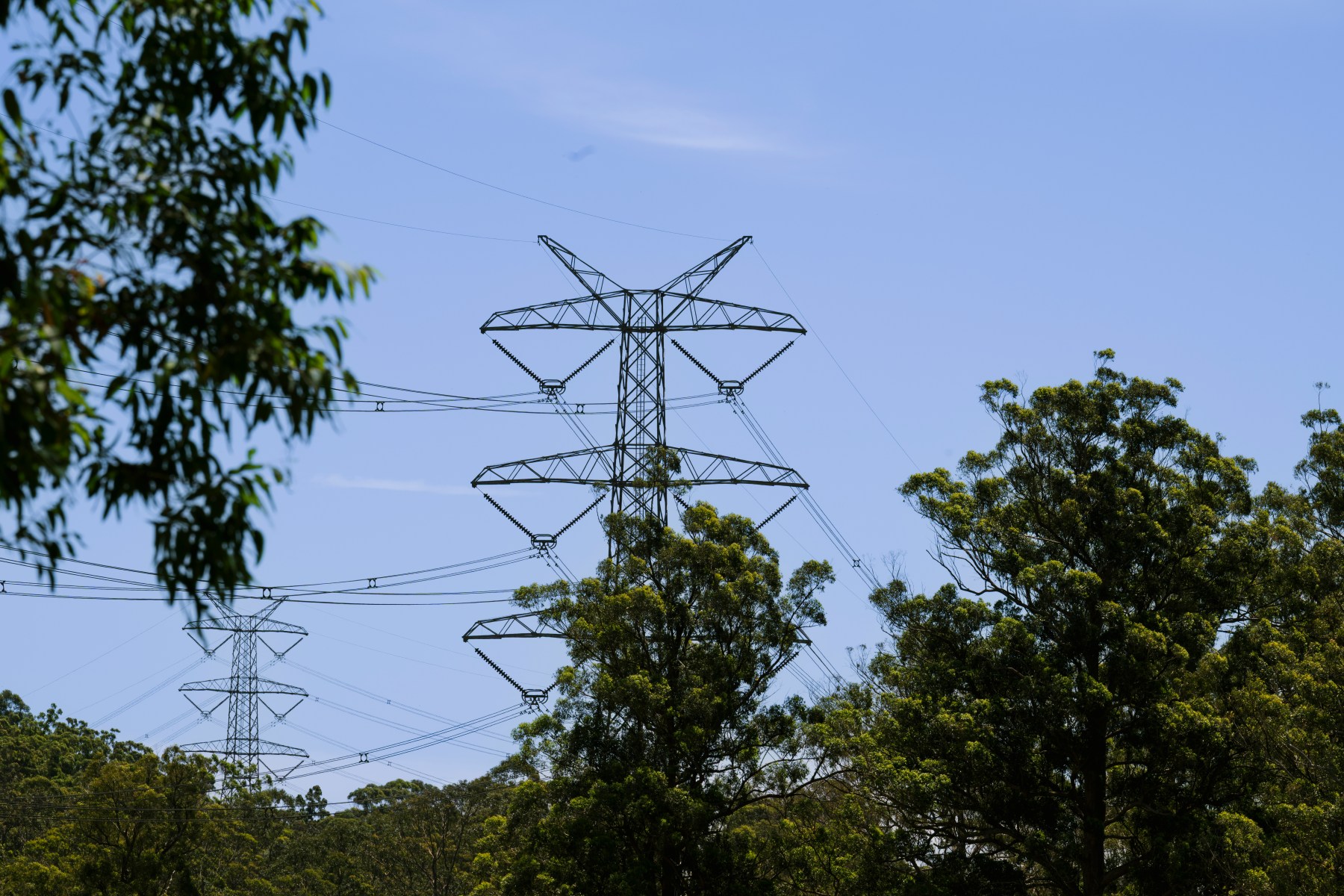
EnergyCo is conducting its rescheduled aerial survey for the New England Renewable Energy Zone between Muswellbrook and Armidale.
A helicopter will fly over the one kilometre-wide proposed transmission corridor to capture aerial video and photos, with the flyover expected to take place over 10 days between the hours of 9am and 4pm.
EnergyCo says the aerial footage and imagery will be used solely to support project planning, environmental assessment, engineering investigations and preparation of the project’s Environment Impact Statement.
To minimise potential impacts on farming operations, the flight path has been designed to avoid areas with increased sensitivity to aircraft activity, with the helicopter generally operating at approximately 365 metres above ground level. The flight path will also avoid direct flights over observed concentrations of livestock.